All Autodesk products
Architecture

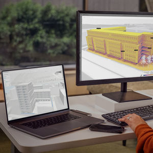


architecture software AUTOCAD
design
for concrete structures
for steel structures
€2,240
Price excl. tax from *
Price excl. tax from *
architecture software REVIT®
BIM (Building Information Modeling)
analysis
data management
€2,590
Indicative price excl. tax *
Indicative price excl. tax *
analysis software INFRAWORKS®
data management
design
for concrete structures
€1,860
Price excl. tax from *
Price excl. tax from *
modeling software 3DS MAX
rendering 3D
for concrete structures
3D
€1,730
Indicative price excl. tax *
Indicative price excl. tax *

architecture software NAVISWORKS®
BIM (Building Information Modeling)
analysis
project simulation
€990
Price excl. tax from *
Price excl. tax from *
architecture software RECAP® PRO
design
modeling
for concrete structures
€350
Price excl. tax from *
Price excl. tax from *

architecture software COLLABORATE PRO
BIM (Building Information Modeling)
design
for steel structures
€800
Price excl. tax from *
Price excl. tax from *

Structural design

CAD software STRUCTURAL BRIDGE DESIGN
architecture
modeling
computer-aided engineering
€3,670
Price excl. tax from *
Price excl. tax from *
MEP design
Construction
architecture software REVIT LT™
BIM (Building Information Modeling)
design
modeling
€590
Price excl. tax from *
Price excl. tax from *

Infrastructure
structural calculation software CIVIL®
BIM (Building Information Modeling)
analysis
design
€2,470
Price excl. tax from *
Price excl. tax from *


Product design & engineering

analysis and simulation software FACTORY DESIGN UTILITIES
data management
CAD
CAM
€2,910
Price excl. tax from *
Price excl. tax from *
management software FUSION MANAGE
for concrete structures
3D
collaborative
€960
Price excl. tax from *
Price excl. tax from *
Simulation & analysis

design software INVENTOR TOLERANCE
analysis and simulation
CAM
for steel structures
€2,910
Price excl. tax from *
Price excl. tax from *

analysis and simulation software INVENTOR NASTRAN®
simulation
design
CAM
€2,910
Price excl. tax from *
Price excl. tax from *
analysis and simulation software CFD
fluid dynamics calculation
management
project simulation
€6,800
Price excl. tax from *
Price excl. tax from *
analysis and simulation software NETFABB®
simulation
CAD
for steel structures
€4,710
Price excl. tax from *
Price excl. tax from *

CAD software INVENTOR®
data management
analysis and simulation
modeling
€2,230
Price excl. tax from *
Price excl. tax from *
management software MOLDFLOW®
project simulation
design
for steel structures
€9,050
Price excl. tax from *
Price excl. tax from *
Manufacturing & production


simulation software FUSION WITH NETFABB
design
for building automation systems
3D
€4,710
Price excl. tax from *
Price excl. tax from *
Film & VFX


Simulation
architecture software VEHICLE TRACKING
analysis
design
for building automation systems
€3,160
Price excl. tax from *
Price excl. tax from *
-
- Autodesk design software
- Autodesk 3D software
- Autodesk management software
- Autodesk concrete structure software
- Autodesk analysis software
- Autodesk steel structure software
- Autodesk 2D software
- Calculation software
- Autodesk Windows software
- Autodesk smart software
Remove all
Compare up to 10 products