Drawing software TERRAINmodelingcalculationfor concrete structures


Add to favorites
Compare this product
Characteristics
- Function
- drawing, modeling, calculation
- Applications
- for concrete structures
- Type
- 3D
Description
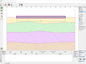
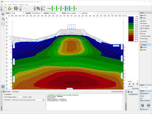
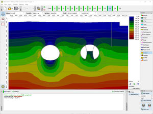
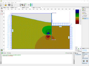
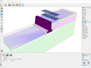
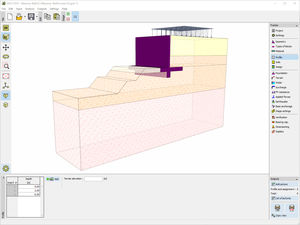
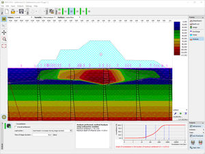
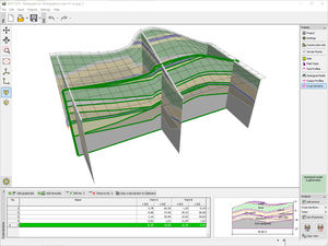
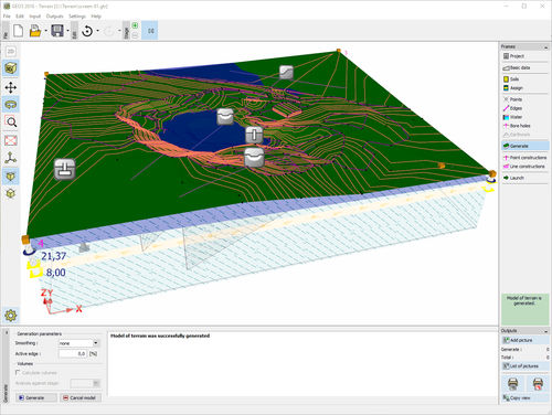
This program is used to create digital terrain models (DEM, DTM) from inputted points and boreholes. It calculates volumes of excavation and also serves as task manager for other GEO5 programs.
Main Features
Generation of the digital terrain model (DTM) from input points, edges and boreholes
Data import-export in TXT or DXF format and geodetic measurements, import LandXML
Calculation of excavation and embankment volumes (cubage)
General shape of construction site
Simple input of structures and earth grading
Modeling of geotechnical layers using bore holes
Modeling of the ground water table
User friendly graphical 3D interface
Drawing of contour lines
Export of data into other GEO5 programs
Task manager for GEO5 programs
Catalogs
Related Searches
- CAD software
- 3D software
- Management software
- Concrete structure software
- Analysis software
- Steel structure software
- 2D software
- Calculation software
- Monitoring software
- Wooden structure software
- Drawing software
- Modeling software
- Computer-aided engineering software
- Geotechnical calculation software
- Data management software
- Construction management software
- Structural calculation software
- Machining stone software
*Prices are pre-tax. They exclude delivery charges and customs duties and do not include additional charges for installation or activation options. Prices are indicative only and may vary by country, with changes to the cost of raw materials and exchange rates.


